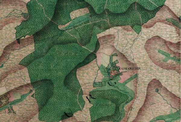
Carte Ferraris (1771-7) (échelle 1/11 520) :
 |
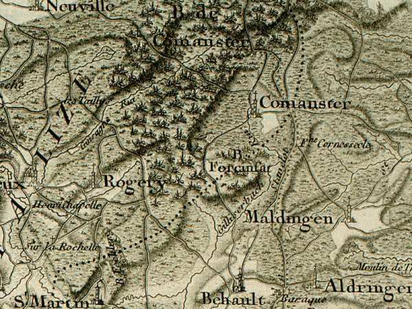
Carte Ferraris réduite (1777-8) (échelle 1/86 400) :
 |
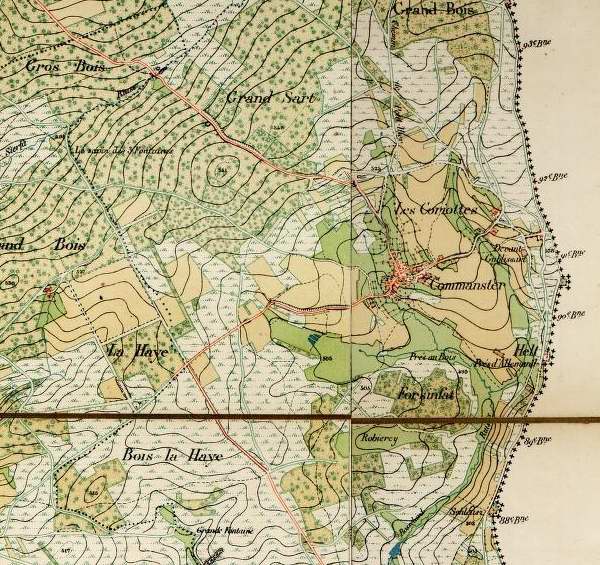
Carte IGN 1880:
|
Carte Ferraris (1771-7) (échelle 1/11 520) :
|
Carte Ferraris réduite (1777-8) (échelle 1/86 400) :
|
Carte IGN 1880:
Back to Ecology of Commanster